In this course we will focus on the application of GIS tools and techniques and geospatial data for anthropological research (especially for sociocultural, archaeological, and applied anthropological work). Of particular importance is the potential for GIS to allow anthropologists to easily visualize spatial data, patterns, and perspectives at a range of social and spatial scales. From individual households, to neighborhoods, cities, regions, nation states, continents (or even the entire world), GIS is an invaluable tool for understanding how humans engage with each and the world across social, political, economic, cultural, and natural contexts.
The course is a combination of lecture, discussion, and hands-on activities, divided into three modules: (1) conceptual fundamentals, (2) practical fundamentals, and (3) applications. This will give students a solid understanding of what maps do, how maps are made, how maps should be understood, and how to make their own maps.
Primary Course Components
Conceptual and historical readings and discussion to better understand the practice of cartography and humanistic mapping
Training modules for learning the basics of the use of ArcGIS Online and Story Maps
Hands-on applications of skills learned in the training modules to work with data from and contribute to the Wash U & Slavery Project (new in F24)
Goals & Objectives
Learn to create and visualize data with ArcGIS Online
Learn to think critically about spatial data, spatial concepts, and the practice of cartography
Learn to read and critique maps
Understand how mapping is used in the social sciences and humanities
Apply skills and knowledge gained through practical applications
Outcomes
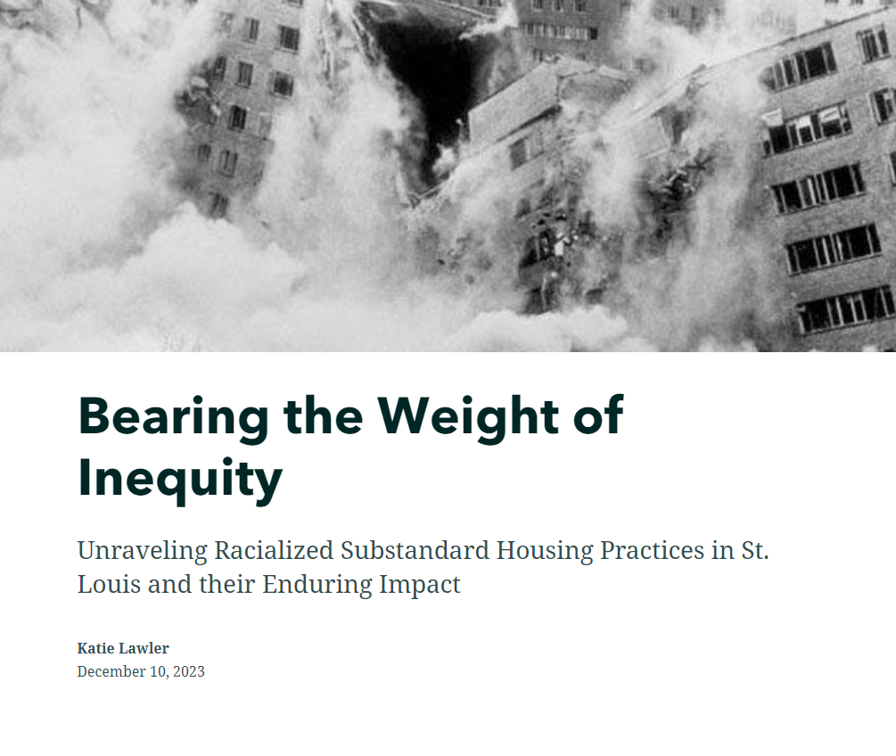
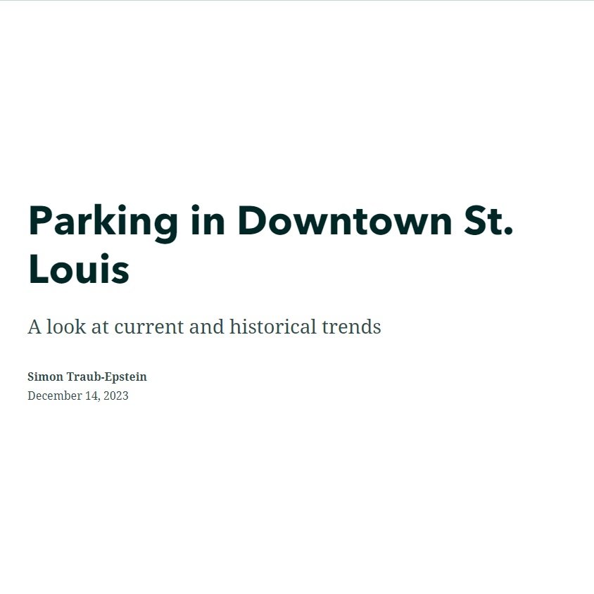
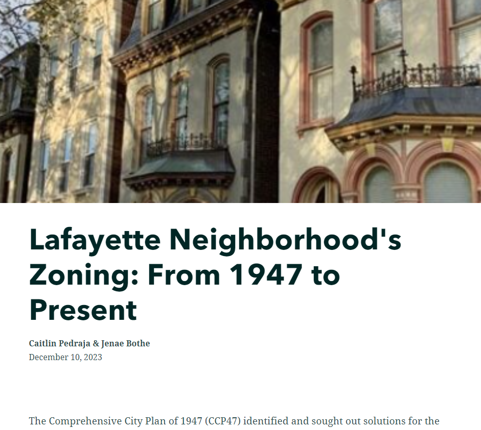
Students in past semester produced Story Maps based on their work with the Harland Bartholomew and Associates map collection held at the Special Collections of Wash U’s Olin Library. For examples, see below: